Santa Elena Awakened by Tremor: Magnitude 3.6 Ecuador Earthquake Shakes the Coast







Posted on 07/08/26 at 11:47
- Magnitude 3.6 Ecuador Earthquake
- No Damage Reported
- Seismic Monitoring Continues
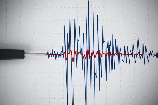
A magnitude 3.6 Ecuador earthquake struck the coastal province of Santa Elena early Tuesday morning. Authorities detected the seismic event, and as of the latest reports, no injuries or property damage have been recorded.
The earthquake occurred while much of the population was asleep, although many residents reported feeling the tremor. Officials stated that no incidents related to the earthquake have been reported.
Ecuador’s Geophysical Institute monitored the event and confirmed that it was a moderate earthquake within the country’s normal pattern of seismic activity.
Although the earthquake did not trigger an emergency, it once again highlights the constant tectonic activity that characterizes Ecuador.
Authorities Confirm Details of the Earthquake

According to Ecuador’s Geophysical Institute, the earthquake occurred at 4:21 a.m. local time, when monitoring systems detected the seismic activity in the coastal province.
Specialists located the epicenter at 2.82 degrees south latitude and 80.33 degrees west longitude.
YOU MAY ALSO BE INTERESTED IN: Super Typhoon Bavi Slams Ashore with Extreme Force, Threatening Widespread Devastation
The agency also reported that the earthquake originated at an approximate depth of 37 kilometers (23 miles) beneath the surface.
As of the latest official reports, there have been no reports of damage to homes, infrastructure, or essential services in the affected area.
Ecuador Remains Under Constant Seismic Monitoring
Ecuador’s geographic location makes earthquakes a frequent natural occurrence across different regions of the country.
Ecuador lies within the Pacific Ring of Fire, one of the most seismically and volcanically active regions on Earth.
Along this vast belt, major tectonic plates converge, producing earthquakes and other geological phenomena on a regular basis.
For this reason, authorities maintain continuous monitoring systems to detect any seismic event that could pose a risk to the population.
The Pacific Ring of Fire Concentrates the World’s Highest Seismic Activity
The Pacific Ring of Fire forms a horseshoe-shaped belt surrounding much of the Pacific Ocean and contains numerous subduction zones.
In addition to Ecuador, this region includes countries such as Chile, Peru, Colombia, Mexico, the United States, Canada, Guatemala, Honduras, El Salvador, Nicaragua, Costa Rica, Panama, Bolivia, and Argentina.
The interaction of tectonic plates makes these countries frequent locations for earthquakes of varying magnitudes throughout the year.
Although the Ecuador earthquake in Santa Elena caused no significant consequences, experts emphasize that continuous monitoring and public preparedness remain essential in one of the world’s most seismically active regions, according to EFE and El Universo.