Super Typhoon Bavi Slams Ashore with Extreme Force, Threatening Widespread Devastation








Posted on 07/07/26 at 22:26
- Super Typhoon Bavi Makes Landfall
- Extreme Winds and Powerful Storm Surge
- Serious Flooding Threat
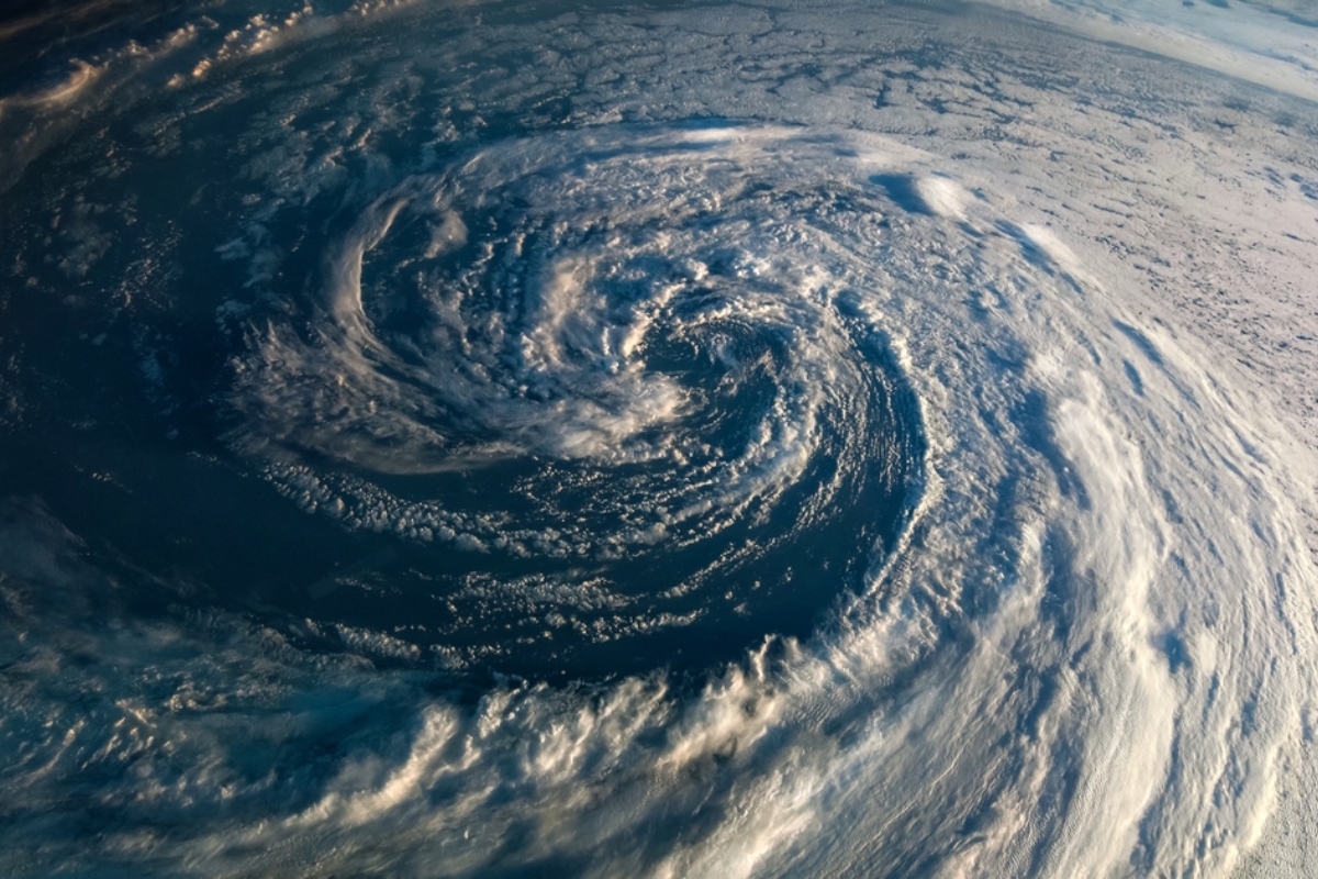
Super Typhoon Bavi made landfall with Category 5-equivalent intensity, putting thousands of people in the Mariana Islands at risk as it moves forward with sustained winds of up to 282 km/h (175 mph) and wind gusts exceeding 320 km/h (200 mph).
The storm is moving slowly westward toward Rota, fueled by exceptionally warm ocean waters that have allowed it to maintain its strength, making it one of the most dangerous weather systems of the season.
Although the eye of the typhoon has moved west of the archipelago, its impacts continue to batter the islands with torrential rainfall, destructive winds, and dangerous storm surge, keeping residents on high alert.
Authorities warn that conditions remain life-threatening, particularly in low-lying coastal areas vulnerable to flooding and structural damage from the powerful winds.
Heavy Rain, Massive Waves, and Power Outages After Landfall
During Monday night, waves between 25 and 30 feet (7.6 to 9.1 meters) were recorded, accompanied by persistent rainfall that could trigger flash flooding and landslides across several islands.
Once winds begin to subside, authorities expect to assess significant damage, including widespread power outages and severe impacts on infrastructure.
YOU MAY ALSO BE INTERESTED IN: Alert in the United States: Cases of «Explosive» Diarrhea Rise Across 17 States
The storm’s prolonged impact has complicated emergency response efforts because dangerous weather conditions continue even after the center of the storm has passed.
Experts note that slow-moving tropical cyclones often produce heavier rainfall totals and more extensive damage than faster-moving systems.
Super Typhoon Bavi Heads Toward Taiwan and China While Gradually Weakening
After crossing the Mariana Islands, Super Typhoon Bavi is expected to continue moving west-northwest, gradually weakening as it approaches Taiwan and later mainland China.
However, the system could still maintain sustained winds exceeding 200 km/h (124 mph), making it the equivalent of a strong Category 3 typhoon when it reaches northern Taiwan.
Cities including Taipei could face flash flooding, transportation disruptions, and widespread power outages, according to weather forecasts.
Local authorities have already begun implementing precautionary measures ahead of the storm’s expected arrival in the coming days.
Previous Devastation Raises Regional Concerns
Super Typhoon Bavi comes just months after the destructive impact of Super Typhoon Sinlaku, which caused hundreds of millions of dollars in damage across the region, heightening fears of another devastating disaster.
That earlier storm produced winds approaching 300 km/h (186 mph) and left widespread destruction, although no fatalities were reported, making it a key point of comparison for Bavi’s potential impact.
Meteorologists warn that the storm’s current intensity could produce similar—or even more severe—consequences if it maintains its strength over the coming hours.
The combination of extreme winds, torrential rainfall, and dangerous storm surge makes Super Typhoon Bavi a critical threat across the western Pacific region, according to Fox Weather.