Powerful Cold Wave Threatens the Northeast With Snow
Posted on 11/18/25 at 14:54
- Intense weather this weekend in the US
- Arctic air reaches the North
- Travel disrupted by snow
According to AccuWeather, another winter cold wave is approaching the Northeast and will bring a marked drop in temperatures, heavy snowfall, and complicated travel conditions across several parts of the region.
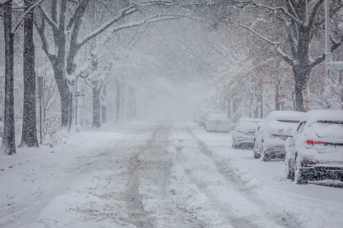
A new mass of Arctic air will accompany a low-pressure system rapidly pushing south from Canada, creating the perfect setup for lake-effect snow and strong wind gusts throughout the weekend.
The system will drag in additional cold air and blanket communities with fresh snow, while increasing the risk of slow travel and slippery roads.
Meteorologists expect this winter episode to extend into early next week, with the strongest impacts in states surrounding the Great Lakes.
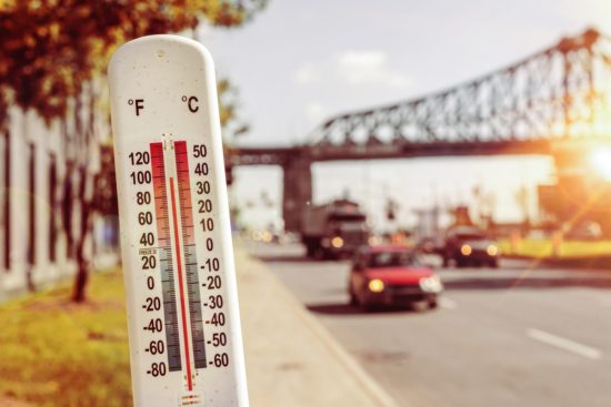
Temperature Drop and Increasing Winds Forecast in the US
Another blast of winter weather to bring snow to the Northeast https://t.co/LMx75DpOGY
— William Rusk (@willdrusk) November 17, 2025
Temperatures will begin trending downward early in the week, settling once again into the 30s and 40s during daytime hours across many Northeastern cities.
This decline will be accompanied by strengthening northwesterly winds as they pass over the warmer waters of the Great Lakes.
That combination will produce a significant drop in AccuWeather RealFeel® temperatures, pushing them below typical values for this time of year.
In addition, strong winds may push lake-effect snow bands farther inland, intensifying accumulations in specific areas.
Cold Wave in the Northeast Intensifies Lake-Effect Snow

The greatest concentrations of snow accumulation will occur east and southeast of Lakes Huron, Erie, and Ontario between late this weekend and early next week.
Lake-effect snow bands may intensify rapidly, generating narrow corridors of heavy precipitation where several centimeters can accumulate within hours.
On Monday, snow will continue spreading southeastward from the Great Lakes region, extending the influence of the winter storm.
Some of the bands that develop could be very concentrated, sharply reducing visibility and making travel on highways and major routes more difficult.
Meteorologists Warn of Heavy Snow in Multiple Areas

“Despite the recent cold wave, the Great Lakes are still considerably warmer than average,” explained Chad Merrill, senior meteorologist at AccuWeather.
With another mass of cold air arriving Monday morning, conditions will again be favorable for intense snow similar to what affected the eastern Great Lakes earlier in the week.
Merrill noted that the strongest snowstorms will hit areas east of Erie, Pennsylvania, and between Syracuse and Oneonta, New York, with expected accumulations of 7 to 15 centimeters.
The meteorologist added that some locations in the US could see double-digit totals according to the weather forecast, especially in areas where persistent lake-effect bands remain stationary.
Reduced Visibility and Travel Hazards
The worst travel periods may occur Monday morning, particularly in northwestern and central Pennsylvania and in western and central New York.
Visibility could drop drastically in short periods due to the most intense snow bands, complicating driving and increasing travel times.
The hardest-hit areas will depend on wind direction, a key factor in determining where the most active snow bands develop.
Even a small shift in wind direction could alter the accumulation pattern—either spreading lighter snow over a wider area or concentrating heavier totals in a narrow corridor.
Persistent Winter Conditions at the Start of the Week
Experts note that sustained northwesterly winds may produce a persistent lake-effect snow band, potentially resulting in double-digit accumulations in a limited set of counties.
This type of phenomenon intensifies when cold air flows over warmer water surfaces—a contrast that remains strong this year, according to meteorologists.
If that pattern holds, some communities may face more severe conditions than others, even within the same general storm-affected region.
Authorities recommend that residents stay alert to local forecasts and prepare for possible travel disruptions early in the week as the Northeast winter storm forecast unfolds.